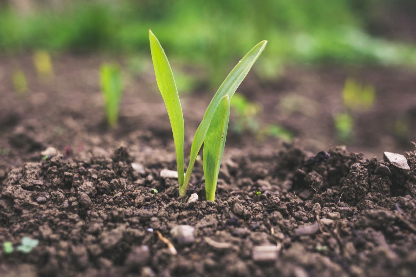
Agronomy Services
Precision agriculture for maximum yields. We combine boots on the ground with cutting-edge technology.
Soil Sampling
Wintex 1000 automatic soil pullers mounted on John Deere Gators with handheld GPS navigation for precise, consistent sampling across every field. Accurate data starts with accurate samples.
Aerial Imagery
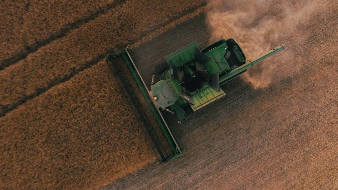
Drone-based crop checks with NIR/NDVI, thermal imaging, and stand counts. See your fields from above to identify variability and make data-driven management decisions.
Variable Rate Technology
Data-driven recommendations for lime and fertility, planting rate, and nitrogen rate. We turn your soil data into prescriptions that put the right inputs in the right place at the right rate.
Crop Scouting
In-season monitoring of emergence counts, growth stages, nutrient deficiencies, plant health, weed pressure, and insect activity. We catch problems early so you can act fast.
Tile Mapping
Digital records of tile drainage systems for planning, maintenance, and future improvements. Know exactly where your tile lines run so you can protect your investment.
Manure Management Plans
Soil fertility combined with manure nutrient analysis for optimal application rates. We help you turn a waste product into a valuable resource while staying compliant.
Let's grow your yields together.
Talk to our agronomy team about a plan tailored to your fields.
Contact Us